
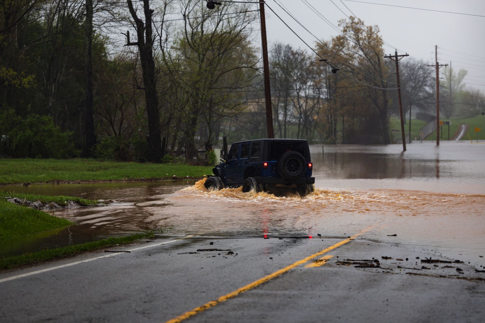
Korea has launched what officials describe as the country’s first nationwide navigation-integrated alert service for flood-related road closures, notifying drivers in real time through map and navigation apps when underpasses and low-lying roads are shut down due to flooding, along with suggested detour routes.
The service, which began operation in June 2026, responds to a recurring and sometimes deadly hazard during Korea’s summer monsoon season: underpasses and low-lying roads that flood rapidly during intense rainfall, sometimes trapping drivers who enter a closed or flooding section without realizing conditions have changed since they last checked. Previous systems relied more heavily on physical barricades and roadside signage, which can be less effective at preventing drivers from entering a hazard zone if they are already en route before a closure is physically enforced.
By integrating closure information directly into navigation software, the new system aims to intercept drivers earlier, ideally before they commit to a route that passes through an area at risk, rather than relying solely on drivers noticing physical barriers once they have already arrived at a flooded section. The approach mirrors similar flood-alert integrations tested in other flood-prone countries, adapted to Korea’s dense urban underpass infrastructure.
With Korea’s monsoon season bringing increasingly intense, concentrated rainfall events in recent years, a pattern climate researchers link to broader shifts in regional weather patterns, officials have framed the new alert system as a necessary infrastructure upgrade rather than a one-off pilot, with plans to expand coverage across the country’s underpass network in the coming years.
Source: Korea Policy Briefing (정책브리핑), korea.kr, “2026 Second-Half Changes to Life in Seoul,” 2026.